Google Maps In Excel
This tutorial demonstrates how to link Google Maps to Excel.
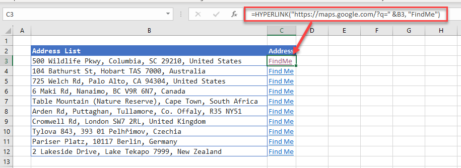
Build a Custom URL for Google Maps
If you have a list of addresses stored in Excel, you can create a hyperlink in an adjacent cell which will open Google Maps and navigate to the address.
The hyperlink is shown below:
=HYPERLINK("https://maps.google.com/?q=" &[celladdress], "Find Me")
where [celladdress] is equal to the cell where the address is stored and the “Find Me” is the text that will be displayed on your Excel sheet.
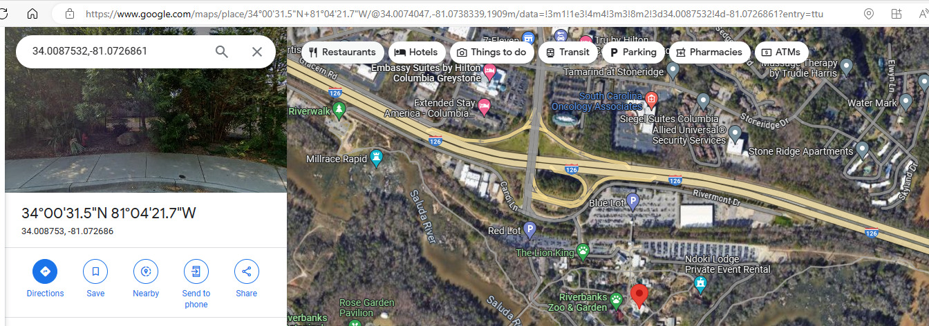
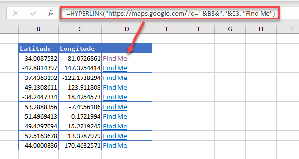
Use Latitude and Longitude for Google Maps
If you do not have the physical address, but you have the map co-ordinates, you can build these into your hyperlink.
The hyperlink changes slightly such as the example below:
=HYPERLINK("https://maps.google.com/?q=" &[latitude]&","&[longitude], "Find Me")
where [latitude] is the cell address of the latitude co-ordinate and [longitude] is the cell address of the longitude co-ordinate.
Show the Satellite Map with Google Maps
If we adjust the formula slightly, we will see the satellite image of the map:
=HYPERLINK("https://maps.google.com/?t=k&q=" &B3&","&C3, "Find Me")